return to Barkley Trails map
This wet pond holds water year round. It needs regular maintenance such as alder and debris removal to keep it from clogging pipes. The sloped grass provides access for cleaning out the pond.

Toledo St. and Undine Pl. Pond

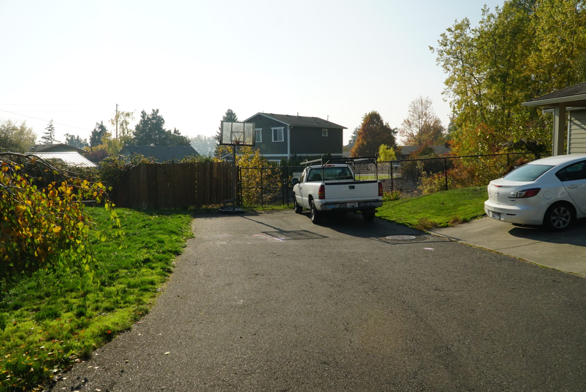
Where is it located? It’s the end of a small access way next to the Undine Lane cul-de-sac.

Where does this stormwater runoff come from? Stormwater at this site comes from Verona Street and sidewalks.

Where does this water flow next? Runoff from this facility as well as the nearby Verona Pond first flows to the ditch along the side of the Railroad Trail. Near Toledo street it goes in a pipe which takes the runoff to Fever Creek and then into Whatcom Creek.

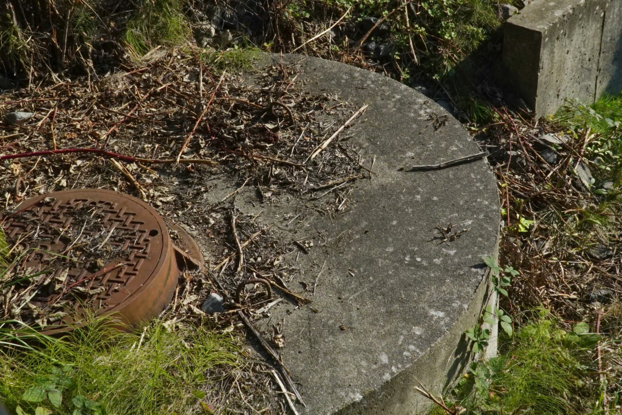
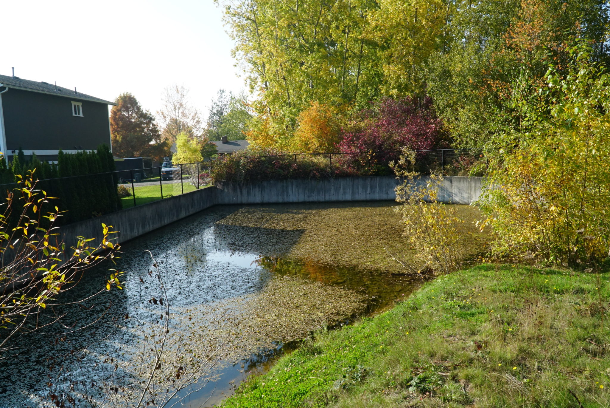
What’s special about this place? This is a wet stormwater pond in that it holds water year-round. It is tucked between houses and the nearby Railroad Trail. It is unusual because its walls are made of concrete which allows it to fit into a smaller space than a normal pond with dirt berms. This improves the way that pollutants are removed and also prevents flooding.

About Stormwater Ponds

A stormwater pond is a basin in the ground designed to collect and store stormwater runoff captured by storm drains and pipes. Stormwater ponds are very common in urban environments where natural processes that clean water and prevent flooding are no longer present. Stormwater ponds are a common and efficient way to collect large volumes of stormwater coming from hard surfaces like parking lots, roads, buildings, and compacted soil. A stormwater pond may look like a wetland, with water-tolerant plants and some wetland wildlife, but they aren’t natural. Constructed ponds require regular inspections as well as sediment and vegetation removal and replacement. 

Water Quality Benefit: Much of the incoming sediment and other pollutants carried by the stormwater settle to the bottom of the pond, keeping those pollutants out of waterways.

Water Quantity Benefit: They are designed to hold stormwater and then release is slowly to prevent flooding.

Use this button below to open map in Google Maps or skip map

Drains 3.5 acres or a little over 2 city blocks.